
Las Coloradas topographic map
Interactive map
Click on the map to display elevation.
About this map
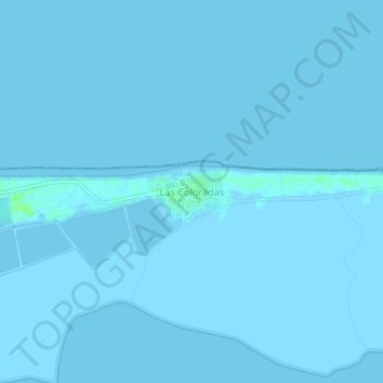
Name: Las Coloradas topographic map, elevation, terrain.
Location: Las Coloradas, Río Lagartos, Yucatán, México (21.58794 -88.00999 21.62794 -87.96999)
Average elevation: 0 m
Minimum elevation: -2 m
Maximum elevation: 9 m