
Merlin topographic map
Interactive map
Click on the map to display elevation.
About this map
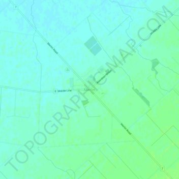
Name: Merlin topographic map, elevation, terrain.
Location: Merlin, Chatham-Kent, Ontario, N0P 1W0, Canada (42.22088 -82.25140 42.26088 -82.21140)
Average elevation: 189 m
Minimum elevation: 185 m
Maximum elevation: 194 m