
ນາມາດ topographic map
Interactive map
Click on the map to display elevation.
About this map
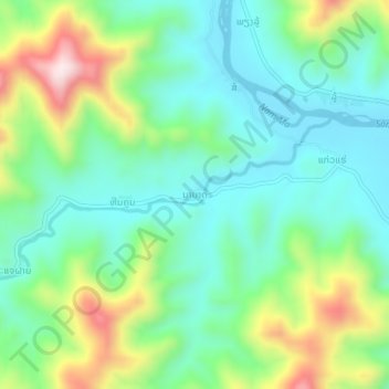
Name: ນາມາດ topographic map, elevation, terrain.
Location: ນາມາດ, ເມືອງແອດ, Hua Phan, Laos (20.80769 103.95211 20.84769 103.99211)
Average elevation: 401 m
Minimum elevation: 259 m
Maximum elevation: 727 m