
Gardendale topographic map
Interactive map
Click on the map to display elevation.
About this map
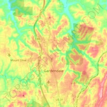
Name: Gardendale topographic map, elevation, terrain.
Location: Gardendale, Jefferson County, Alabama, États-Unis d'Amérique (33.62260 -86.86991 33.73238 -86.74773)
Average elevation: 176 m
Minimum elevation: 100 m
Maximum elevation: 259 m