
Bahria Town topographic map
Interactive map
Click on the map to display elevation.
About this map
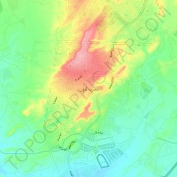
Name: Bahria Town topographic map, elevation, terrain.
Location: Bahria Town, Gadap Town, Malir District, Sindh, Pakistan (25.00784 67.27902 25.08784 67.35902)
Average elevation: 127 m
Minimum elevation: 84 m
Maximum elevation: 208 m