
Maruia Springs topographic map
Interactive map
Click on the map to display elevation.
About this map
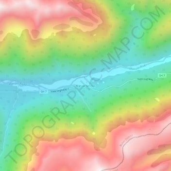
Name: Maruia Springs topographic map, elevation, terrain.
Location: Maruia Springs, Buller District, West Coast, Neuseeland (-42.39923 172.31323 -42.35923 172.35323)
Average elevation: 1,022 m
Minimum elevation: 550 m
Maximum elevation: 1,607 m