
Salir do Porto topographic map
Interactive map
Click on the map to display elevation.
About this map
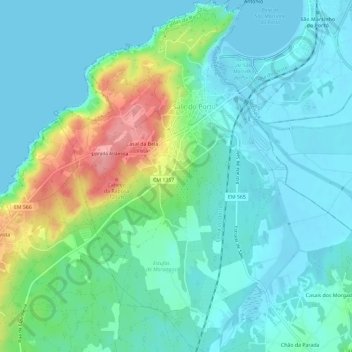
Name: Salir do Porto topographic map, elevation, terrain.
Location: Salir do Porto, Leiria, Centro, Portugal (39.46489 -9.17658 39.50978 -9.13847)
Average elevation: 26 m
Minimum elevation: -1 m
Maximum elevation: 112 m