
قفصة المدينة topographic map
Interactive map
Click on the map to display elevation.
About this map
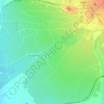
Name: قفصة المدينة topographic map, elevation, terrain.
Location: قفصة المدينة, قفصة الجنوبية, قفصة, Tunísia (34.38067 8.74820 34.42316 8.79574)
Average elevation: 272 m
Minimum elevation: 248 m
Maximum elevation: 317 m
Other topographic maps
Click on a map to view its topography, its elevation and its terrain.