
Second Bight topographic map
Interactive map
Click on the map to display elevation.
About this map
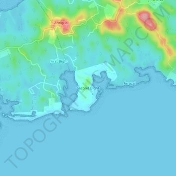
Name: Second Bight topographic map, elevation, terrain.
Location: Second Bight, José Santos Guardiola, Bay Islands, Honduras (16.34588 -86.43429 16.38588 -86.39429)
Average elevation: 16 m
Minimum elevation: 0 m
Maximum elevation: 127 m