
Éghezée topographic map
Interactive map
Click on the map to display elevation.
About this map
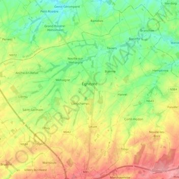
Name: Éghezée topographic map, elevation, terrain.
Location: Éghezée, Namur, Wallonia, 5310, Belgium (50.52594 4.78703 50.64833 4.98990)
Average elevation: 159 m
Minimum elevation: 120 m
Maximum elevation: 213 m