
Penawai topographic map
Interactive map
Click on the map to display elevation.
About this map
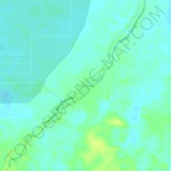
Name: Penawai topographic map, elevation, terrain.
Location: Penawai, Kutai Barat, East Kalimantan, Kalimantan, Indonesia (-0.67452 116.22199 -0.63452 116.26199)
Average elevation: 18 m
Minimum elevation: 13 m
Maximum elevation: 28 m
Other topographic maps
Click on a map to view its topography, its elevation and its terrain.