
Looney topographic map
Interactive map
Click on the map to display elevation.
About this map
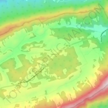
Name: Looney topographic map, elevation, terrain.
Location: Looney, Craig County, Virginia, 24127, USA (37.45124 -80.18255 37.49124 -80.14255)
Average elevation: 766 m
Minimum elevation: 571 m
Maximum elevation: 1,006 m