
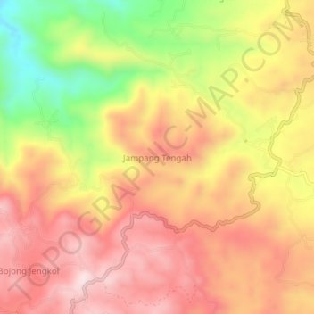
Jampang Tengah topographic map
Interactive map
Click on the map to display elevation.
About this map
Name: Jampang Tengah topographic map, elevation, terrain.
Location: Jampang Tengah, Sukabumi, West Java, Java, Indonesia (-7.07593 106.76526 -7.03593 106.80526)
Average elevation: 529 m
Minimum elevation: 270 m
Maximum elevation: 702 m