
Nilanga topographic map
Interactive map
Click on the map to display elevation.
About this map
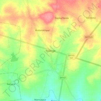
Name: Nilanga topographic map, elevation, terrain.
Location: Nilanga, Latur District, Maharashtra, 413521, India (18.08919 76.70941 18.16919 76.78941)
Average elevation: 616 m
Minimum elevation: 578 m
Maximum elevation: 657 m