
Al Athrun topographic map
Interactive map
Click on the map to display elevation.
About this map
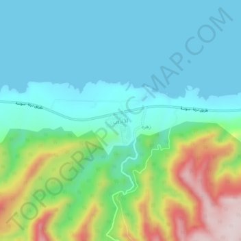
Name: Al Athrun topographic map, elevation, terrain.
Location: Al Athrun, Derna, Libya (32.84757 22.25828 32.88757 22.29828)
Average elevation: 114 m
Minimum elevation: 0 m
Maximum elevation: 447 m