
Baft topographic map
Interactive map
Click on the map to display elevation.
About this map
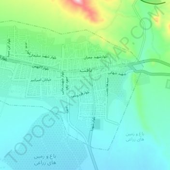
Name: Baft topographic map, elevation, terrain.
Location: Baft, بخش مرکزی, شهرستان بافت, Kerman, Iran (29.20896 56.56311 29.25188 56.62765)
Average elevation: 2,277 m
Minimum elevation: 2,207 m
Maximum elevation: 2,579 m
Baft est située à 150 km au sud-est de Kerman, la capitale provinciale, et à quelque 2 300 m d'altitude. En 2006, sa population s'élevait à 35 000 habitants.