
Umerkot topographic map
Interactive map
Click on the map to display elevation.
About this map
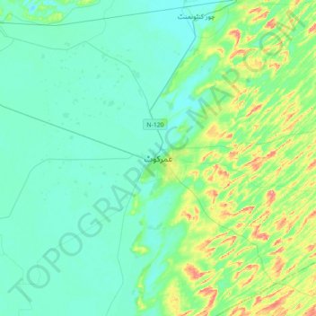
Name: Umerkot topographic map, elevation, terrain.
Location: Umerkot, Umerkot Taluka, Umerkot District, Sindh, Pakistan (25.20553 69.58013 25.52553 69.90013)
Average elevation: 21 m
Minimum elevation: 3 m
Maximum elevation: 90 m