Geolocate

Valbom topographic map

Click on the map to display elevation.

About this map
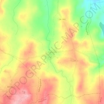
Name: Valbom topographic map, elevation, terrain.

Location: Valbom, Valbom/Bogalhal, Pinhel, Guarda, 6400-376, Portugal (40.76182 -7.14803 40.80182 -7.10803)

Average elevation: 604 m

Minimum elevation: 521 m

Maximum elevation: 667 m

Gear up for your next adventure:

🍳Camping Stoves - Compact stoves for outdoor cooking
🥫Expedition Meals - Lightweight, high-calorie nutrition for long-distance hikers
🧣Neck Gaiters - Versatile protection against wind and cold
🚲Cycling GPS Computers - Track elevation and topographic routes on two wheels
🛰️Satellite Messengers - Emergency communication devices for areas without mobile signal

As an Amazon Associate, this site earns from qualifying purchases at no extra cost to you.