
Sar-e Pol topographic map
Interactive map
Click on the map to display elevation.
About this map
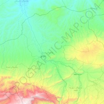
Name: Sar-e Pol topographic map, elevation, terrain.
Location: Sar-e Pol, Sar-e Pol Province, Afghanistan (35.91014 65.76383 36.56488 66.43314)
Average elevation: 959 m
Minimum elevation: 384 m
Maximum elevation: 2,995 m
Other topographic maps
Click on a map to view its topography, its elevation and its terrain.