
Ursprung topographic map
Interactive map
Click on the map to display elevation.
About this map
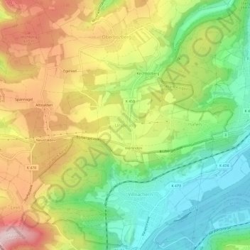
Name: Ursprung topographic map, elevation, terrain.
Location: Ursprung, Bözberg, Bezirk Brugg, Aargau, 5225, Schweiz (47.46331 8.13697 47.50331 8.17697)
Average elevation: 492 m
Minimum elevation: 332 m
Maximum elevation: 694 m