
Haaren topographic map
Interactive map
Click on the map to display elevation.
About this map
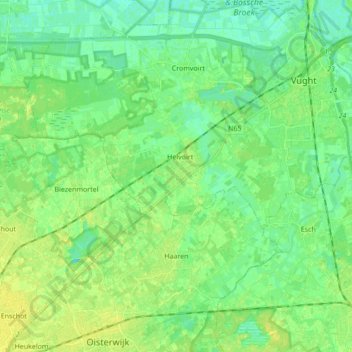
Name: Haaren topographic map, elevation, terrain.
Location: Haaren, Brabant-Septentrional, Pays-Bas (51.58556 5.14485 51.66982 5.31649)
Average elevation: 7 m
Minimum elevation: 0 m
Maximum elevation: 15 m