Geolocate

Malta topographic map

Click on the map to display elevation.

About this map
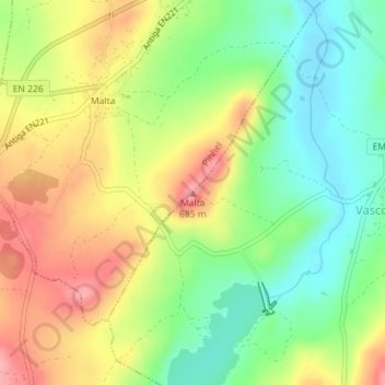
Name: Malta topographic map, elevation, terrain.

Location: Malta, Vascoveiro, Pinhel, Guarda, 6400-376, Portugal (40.73465 -7.08831 40.73475 -7.08821)

Average elevation: 622 m

Minimum elevation: 571 m

Maximum elevation: 680 m

Gear up for your next adventure:

📱Phone Mounts for Hiking - Secure mounts to carry your phone on trails
🧤Thermal Touchscreen Gloves - Stay warm while operating your GPS or smartphone camera
🥾Hiking Boots - Waterproof and durable boots for long-distance hiking in the UK
🛰️Outdoor GPS Navigation - Navigation devices for remote and off-grid areas
📚UK Hiking Guidebooks - Detailed route descriptions for the Lake District, Peaks, and Highlands

As an Amazon Associate, this site earns from qualifying purchases at no extra cost to you.