
Ягнило topographic map
Interactive map
Click on the map to display elevation.
About this map
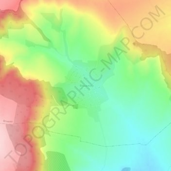
Name: Ягнило topographic map, elevation, terrain.
Location: Ягнило, Ветрино, Oblast Warna, Bulgarien (43.36194 27.30405 43.40194 27.34405)
Average elevation: 297 m
Minimum elevation: 196 m
Maximum elevation: 421 m