
Sungai Ambat topographic map
Interactive map
Click on the map to display elevation.
About this map
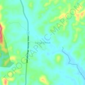
Name: Sungai Ambat topographic map, elevation, terrain.
Location: Sungai Ambat, Johor, Malaysia (2.11987 103.85978 2.15987 103.89978)
Average elevation: 42 m
Minimum elevation: 12 m
Maximum elevation: 130 m