
Farron topographic map
Interactive map
Click on the map to display elevation.
About this map
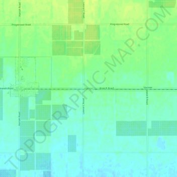
Name: Farron topographic map, elevation, terrain.
Location: Farron, Yakima County, Washington, États-Unis d'Amérique (46.38457 -120.54145 46.42457 -120.50145)
Average elevation: 253 m
Minimum elevation: 246 m
Maximum elevation: 261 m