
Malabo topographic map
Interactive map
Click on the map to display elevation.
About this map
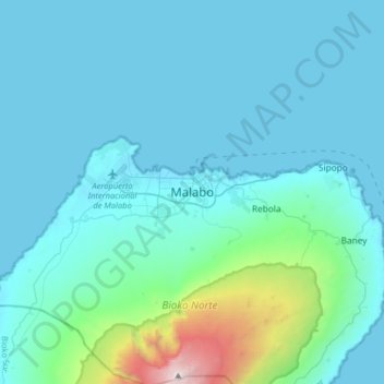
Name: Malabo topographic map, elevation, terrain.
Location: Malabo, Bioko Norte, Región Insular, Equatorial Guinea (3.58188 8.61407 3.90188 8.93407)
Average elevation: 303 m
Minimum elevation: -1 m
Maximum elevation: 2,992 m