
Rusizi topographic map
Interactive map
Click on the map to display elevation.
About this map
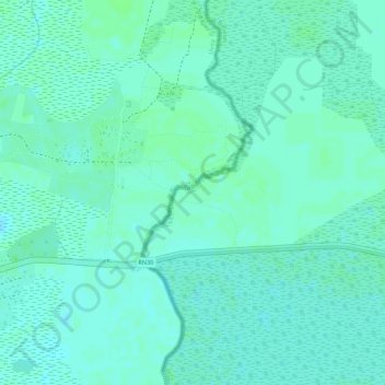
Name: Rusizi topographic map, elevation, terrain.
Location: Rusizi, Bujumbura Rural, Burundi (-3.33934 29.21216 -3.32959 29.21978)
Average elevation: 775 m
Minimum elevation: 771 m
Maximum elevation: 778 m