
Lake in the Hills topographic map
Interactive map
Click on the map to display elevation.
About this map
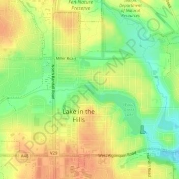
Name: Lake in the Hills topographic map, elevation, terrain.
Location: Lake in the Hills, McHenry County, Illinois, États-Unis (42.18550 -88.32835 42.18578 -88.32803)
Average elevation: 262 m
Minimum elevation: 238 m
Maximum elevation: 279 m