
Yurihonjō topographic map
Interactive map
Click on the map to display elevation.
About this map
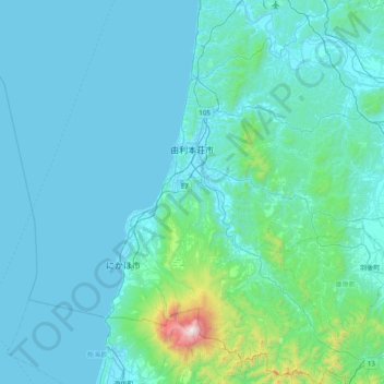
Name: Yurihonjō topographic map, elevation, terrain.
Location: Yurihonjō, Prefectura de Akita, 東北地方, Japón (39.01360 139.61793 39.62133 140.35592)
Average elevation: 156 m
Minimum elevation: -2 m
Maximum elevation: 2,209 m
Other topographic maps
Click on a map to view its topography, its elevation and its terrain.