
Trou souffleur du Plan de Gaule topographic map
Interactive map
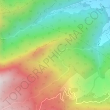
Click on the map to display elevation.
About this map
Name: Trou souffleur du Plan de Gaule topographic map, elevation, terrain.
Average elevation: 846 m
Minimum elevation: 427 m
Maximum elevation: 1,388 m
Other topographic maps
Click on a map to view its topography, its elevation and its terrain.
Labaderque
France > Occitanie > Haute-Garonne > Herran > Labaderque
Labaderque, Herran, Saint-Gaudens, Haute-Garonne, Occitanie, France métropolitaine, 31160, France
Average elevation: 938 m
La Tour
France > Occitanie > Haute-Garonne > Herran
La Tour, Herran, Saint-Gaudens, Haute-Garonne, Occitanie, France métropolitaine, 31160, France
Average elevation: 843 m