
Weston topographic map
Interactive map
Click on the map to display elevation.
About this map
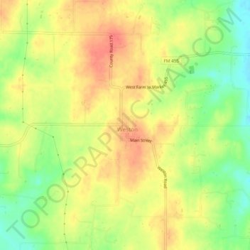
Name: Weston topographic map, elevation, terrain.
Location: Weston, Collin County, Texas, 75097, United States (33.32900 -96.68944 33.36900 -96.64944)
Average elevation: 218 m
Minimum elevation: 188 m
Maximum elevation: 239 m