
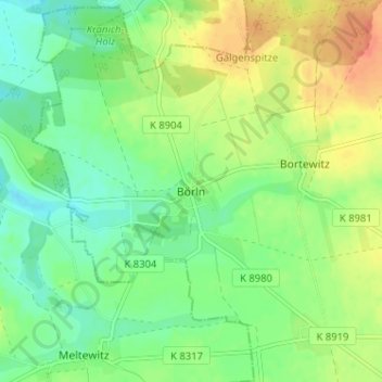
Börln topographic map
Interactive map
Click on the map to display elevation.
About this map
Name: Börln topographic map, elevation, terrain.
Location: Börln, Nordsachsen, Sachsen, Deutschland (51.36075 12.90903 51.40075 12.94903)
Average elevation: 155 m
Minimum elevation: 137 m
Maximum elevation: 180 m