
Chevrouheid topographic map
Interactive map
Click on the map to display elevation.
About this map
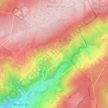
Name: Chevrouheid topographic map, elevation, terrain.
Location: Chevrouheid, Stoumont, Verviers, Liège, Wallonie, 4987, Belgique (50.42385 5.88607 50.46385 5.92607)
Average elevation: 464 m
Minimum elevation: 255 m
Maximum elevation: 580 m