
De Heen topographic map
Interactive map
Click on the map to display elevation.
About this map
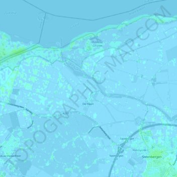
Name: De Heen topographic map, elevation, terrain.
Location: De Heen, Steenbergen, North Brabant, Netherlands (51.58253 4.19176 51.64706 4.31236)
Average elevation: 0 m
Minimum elevation: -4 m
Maximum elevation: 5 m