
Tenaru waterfalls topographic map
Interactive map
Click on the map to display elevation.
About this map
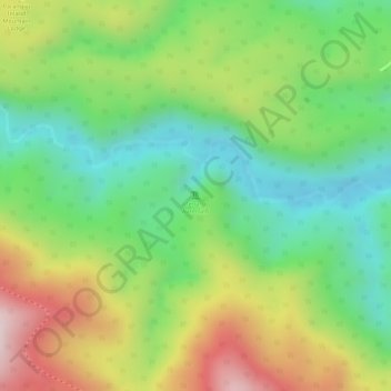
Name: Tenaru waterfalls topographic map, elevation, terrain.
Location: Tenaru waterfalls, Guadalcanal, Solomon Islands (-9.51840 160.01727 -9.51830 160.01737)
Average elevation: 215 m
Minimum elevation: 40 m
Maximum elevation: 449 m
Other topographic maps
Click on a map to view its topography, its elevation and its terrain.
Guadalcanal Island
Guadalcanal Island, Guadalcanal, Solomon Islands
Average elevation: 117 m