
Xensous topographic map
Interactive map
Click on the map to display elevation.
About this map
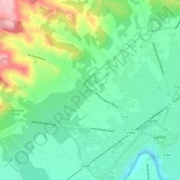
Name: Xensous topographic map, elevation, terrain.
Average elevation: 166 m
Minimum elevation: 109 m
Maximum elevation: 289 m
Other topographic maps
Click on a map to view its topography, its elevation and its terrain.
Tessonnières
France > Occitanie > Tarn > Gaillac
Tessonnières, Gaillac, Albi, Tarn, Occitanie, France métropolitaine, 81600, France
Average elevation: 164 m