
Bantarwaru topographic map
Interactive map
Click on the map to display elevation.
About this map
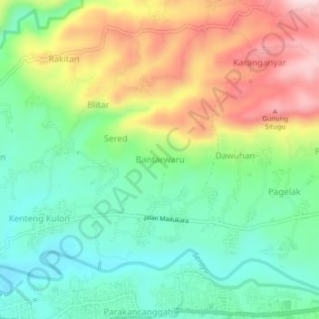
Name: Bantarwaru topographic map, elevation, terrain.
Location: Bantarwaru, Banjarnegara, 53412, Indonesia (-7.39277 109.69684 -7.35277 109.73684)
Average elevation: 369 m
Minimum elevation: 249 m
Maximum elevation: 562 m