
Baturaden topographic map
Interactive map
Click on the map to display elevation.
About this map
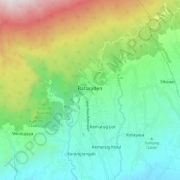
Name: Baturaden topographic map, elevation, terrain.
Location: Baturaden, Banyumas, Central Java, Java, 53151, Indonesia (-7.35482 109.18949 -7.27482 109.26949)
Average elevation: 764 m
Minimum elevation: 232 m
Maximum elevation: 1,935 m
Other topographic maps
Click on a map to view its topography, its elevation and its terrain.