
Panther Creek topographic map
Interactive map
Click on the map to display elevation.
About this map
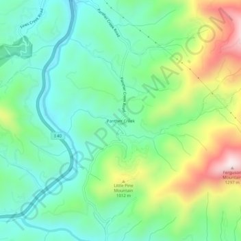
Name: Panther Creek topographic map, elevation, terrain.
Location: Panther Creek, Haywood County, North Carolina, United States (35.62344 -82.99986 35.66344 -82.95986)
Average elevation: 873 m
Minimum elevation: 691 m
Maximum elevation: 1,267 m