
Thank you for supporting this site ❤️
Make a donation
Make a donation
Gear up for your next adventure:
As an Amazon Associate, this site earns from qualifying purchases at no extra cost to you.
Yaca topographic map
Click on the map to display elevation.
Thank you for supporting this site ❤️
Make a donation
Make a donation
Gear up for your next adventure:
As an Amazon Associate, this site earns from qualifying purchases at no extra cost to you.
About this map
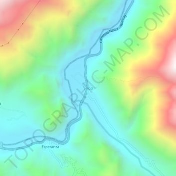
Name: Yaca topographic map, elevation, terrain.
Location: Yaca, Circa, Provincia de Abancay, Apurímac, Perú (-13.86986 -72.99811 -13.82986 -72.95811)
Average elevation: 2,365 m
Minimum elevation: 1,969 m
Maximum elevation: 3,253 m
Thank you for supporting this site ❤️
Make a donation
Make a donation
Gear up for your next adventure:
As an Amazon Associate, this site earns from qualifying purchases at no extra cost to you.