
那腊 topographic map
Interactive map
Click on the map to display elevation.
About this map
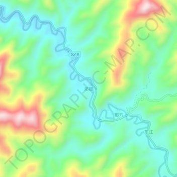
Name: 那腊 topographic map, elevation, terrain.
Location: 那腊, 百色市, 广西壮族自治区, 中国 (23.04699 105.87866 23.08699 105.91866)
Average elevation: 475 m
Minimum elevation: 329 m
Maximum elevation: 774 m