Geolocate

Merapi Volcano topographic map

Click on the map to display elevation.

About this map

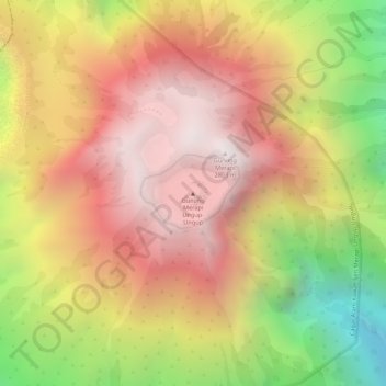
Name: Merapi Volcano topographic map, elevation, terrain.

Location: Merapi Volcano, Banyuwangi, East Java, Indonesia (-8.06550 114.25963 -8.06540 114.25973)

Average elevation: 2,315 m

Minimum elevation: 1,604 m

Maximum elevation: 2,773 m

Gear up for your next adventure:

🧥Softshell Jackets - Breathable jackets for active outdoor use
📷Camera Straps - Secure straps for carrying cameras while walking
🥾Men's Waterproof Hiking Boots - Durable footwear with deep lugs for muddy and rocky UK terrains
📢Survival Whistles - Essential safety gear for signaling for help in mountain fog
🎒Hiking Daypacks (20L) - Compact backpacks for day trips and technical mountain ascents

As an Amazon Associate, this site earns from qualifying purchases at no extra cost to you.