
Sunggal Kanan topographic map
Interactive map
Click on the map to display elevation.
About this map
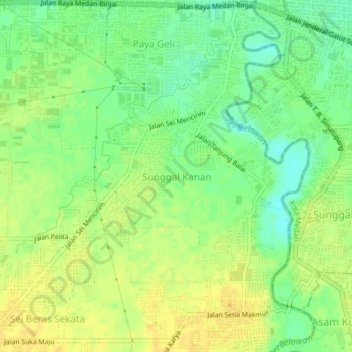
Name: Sunggal Kanan topographic map, elevation, terrain.
Location: Sunggal Kanan, Deli Serdang, North Sumatra, 20133, Indonesia (3.55969 98.57641 3.59969 98.61641)
Average elevation: 30 m
Minimum elevation: 16 m
Maximum elevation: 39 m