
Masala topographic map
Interactive map
Click on the map to display elevation.
About this map
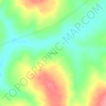
Name: Masala topographic map, elevation, terrain.
Location: Masala, Tanganyika, Democratic Republic of the Congo (-7.08667 28.31333 -7.04667 28.35333)
Average elevation: 692 m
Minimum elevation: 655 m
Maximum elevation: 745 m