
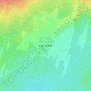
Ceel Dheer topographic map
Interactive map
Click on the map to display elevation.
About this map
Name: Ceel Dheer topographic map, elevation, terrain.
Location: Ceel Dheer, El Dher District, Galgaduud, Galmudug, Somalia (3.80909 47.14031 3.88909 47.22031)
Average elevation: 23 m
Minimum elevation: 9 m
Maximum elevation: 53 m