
Karlobag topographic map
Click on the map to display elevation.
About this map
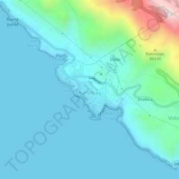
Name: Karlobag topographic map, elevation, terrain.
Location: Karlobag, Općina Karlobag, Lika-Senj County, Croatia (44.52372 15.06522 44.53291 15.07944)
Average elevation: 91 m
Minimum elevation: 0 m
Maximum elevation: 597 m
Other topographic maps
Click on a map to view its topography, its elevation and its terrain.