
Tindale topographic map
Click on the map to display elevation.
About this map
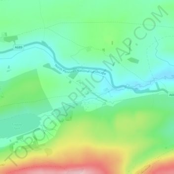
Name: Tindale topographic map, elevation, terrain.
Location: Tindale, Farlam, Cumberland, England, CA8 2QH, United Kingdom (54.91774 -2.60871 54.93774 -2.58871)
Average elevation: 244 m
Minimum elevation: 175 m
Maximum elevation: 391 m
Cumberland trails, hiking, mountain biking, running and outdoor activities