
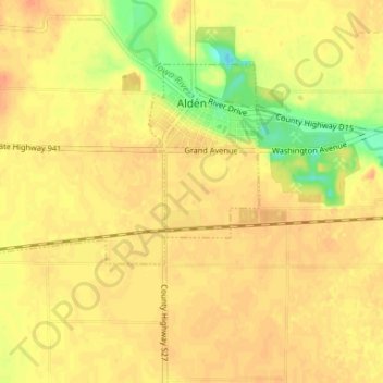
Alden topographic map
Interactive map
Click on the map to display elevation.
About this map
Name: Alden topographic map, elevation, terrain.
Location: Alden, Hardin County, Iowa, United States (42.49280 -93.43032 42.52506 -93.36470)
Average elevation: 354 m
Minimum elevation: 328 m
Maximum elevation: 364 m