
Ellsworth topographic map
Interactive map
Click on the map to display elevation.
About this map
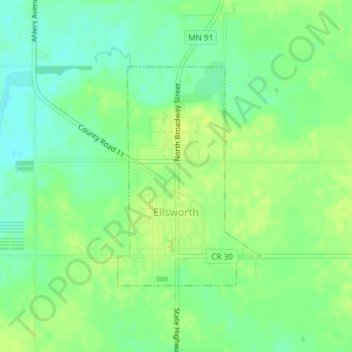
Name: Ellsworth topographic map, elevation, terrain.
Location: Ellsworth, Nobles County, Minnesota, United States (43.51238 -96.02453 43.52919 -96.00937)
Average elevation: 440 m
Minimum elevation: 430 m
Maximum elevation: 448 m
Other topographic maps
Click on a map to view its topography, its elevation and its terrain.
Sungold Heights Mobile Home Park
United States > Minnesota > Nobles County > Worthington
Average elevation: 482 m