
Zone 4 topographic map
Interactive map
Click on the map to display elevation.
About this map
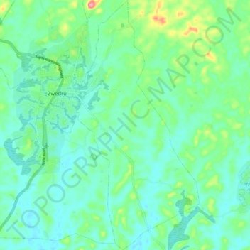
Name: Zone 4 topographic map, elevation, terrain.
Location: Zone 4, Tchien, Grand Gedeh County, Liberia (6.00343 -8.12779 6.10757 -8.07455)
Average elevation: 213 m
Minimum elevation: 189 m
Maximum elevation: 291 m
Other topographic maps
Click on a map to view its topography, its elevation and its terrain.